After considering the recent literature in the field of weed eradication, Spartina experts recommended that we focus our monitoring effort for 2011 on applying “state of the art” concepts to the Willapa Spartina eradication program. Experts suggested a method that involves tracking the pace of progress in specified portions of the overall infestation. Field operations are divided into active treatment and monitoring phases. In areas without live plants, consecutive monitoring surveys are conducted to confirm eradication. Infestations revert to the active treatment status if new plants are detected. Within each unit, a decrease in plant numbers provides evidence of progress. Failure to make such progress would lead to very protracted active treatment status in units throughout the Bay. Transition to monitoring status can be seen as the critical indicator of progress. The UW Olympic Natural Resources Center worked collaboratively with the Coastal Resources Alliance (CRA) to apply this approach to the analysis of survey data taken in 2011. The work required compiling all data generated in 2011 by federal, state and local agency crews on Spartina found and treated throughout the treatment season.
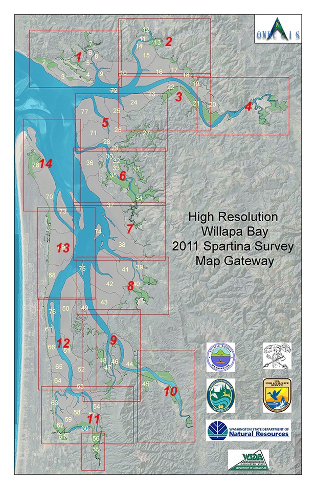
High Resolution Survey Map Gateway
A series of 14 1:24000 Scale map tiles has been generated for those who require higher resolution than the map provided in the 2011 report above. These maps are 600 dpi PDFs in 11 x 17 portrait or 17 x 11 landscape formats. Each map has a locater grid in Degrees, Minutes, and Seconds (DMS) with a 5 second resolution.
The maps provided at the gateway below are best viewed at 200% zoom or printed out at 22 x 34 inches. These maps depict the locations captured by the GPS survey as well as flowshed boundaries and tideland habitat type (Salt or Freshwater Marsh, Unvegetated Flats) on the 2011 NAIP Color Orthophotos.

